
Fiji has used a regional meeting in Nadi to push geospatial, surveying and hydrographic systems as core infrastructure for climate resilience, land management and maritime protection across the Pacific.
The 7th Pacific Geospatial and Surveying Council (PGSC) meeting brought together senior officials, technical experts and development partners from 14 Pacific Island nations.
The three-day forum focused on strengthening geospatial capability, governance and leadership as Pacific countries face growing pressure from climate impacts, maritime boundary issues and the need for stronger data systems.
Minister for Lands and Mineral Resources, Filimoni Vosarogo, used the opening of the meeting to frame geospatial development as a regional priority.
"Geospatial science and surveying are not just technical luxuries, they are foundational infrastructure," he said.
"Let us raise awareness and fully utilise the regional architecture we have built."
Mr Vosarogo used the meeting to argue major technical projects should leave lasting capability within Pacific institutions.
"Major projects such as LiDAR, high-resolution satellite campaigns, and integrated mapping initiatives are coming," he said.
"Let us treat these projects as catalysts for institutional strengthening, not one-off exercises."
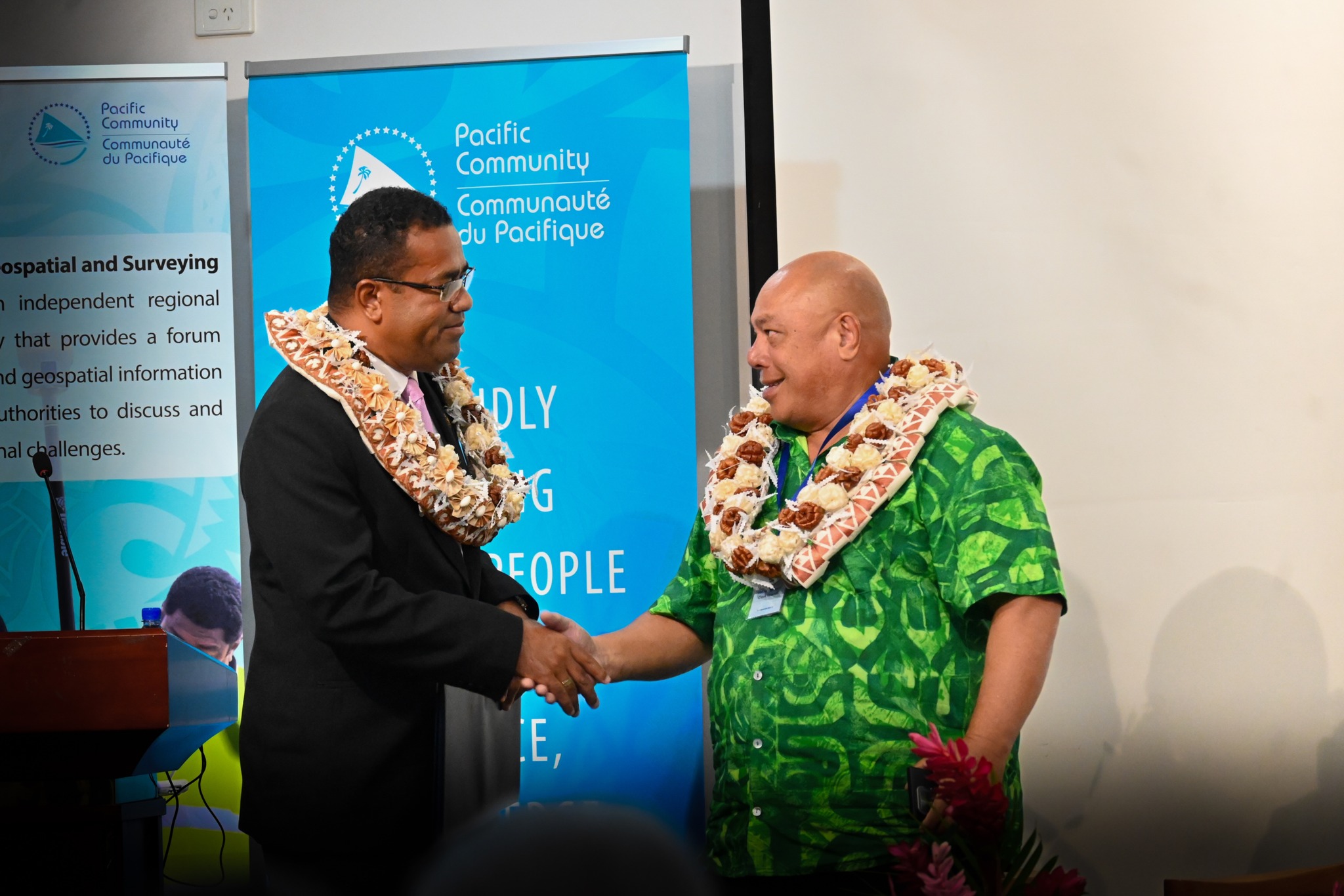
The meeting was organised by the Pacific community and drew leaders from national mapping agencies, land and survey departments and partner organisations.
Discussions extended beyond technical delivery to governance issues, leadership, gender balance in the workforce and participation in international platforms.
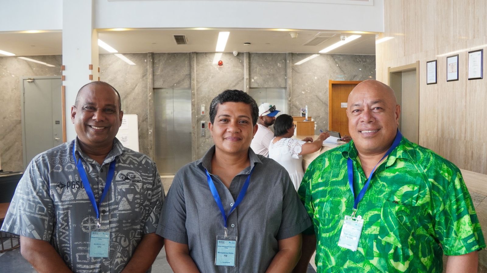
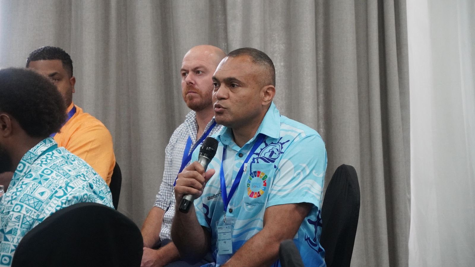
A technical presentation from Fiji's delegation was delivered by Surveyor-General Asakaia Tabua, Manager Geospatial Information Management Meizyanne Gucake and Lieutenant Commander Apenisa Colati Cavuilati from the Fiji Hydrographic Office.
Their presentation highlighted how Fiji's digital transformation agenda is reshaping government service delivery.
Officials also argued technical outputs must be tied more clearly to measurable development, policy and economic outcomes.
That position was linked to a wider call for accountability in regional and international engagement.
Fiji's delegation told the forum that investment in technical systems must produce national benefits and support informed decision-making.
Work to modernise Fiji's national geodetic reference system was one of the main areas highlighted during the meeting.
The country is moving from legacy frameworks to a modern geocentric datum aligned with international standards.
Officials also pointed to digital land administration platforms which are changing how services are delivered.
Those platforms include MyLeaseInfo, OSLA and e-Plan lodgement.
The Ministry also highlighted national mapping tools such as VanuaView and VanuaGIS, tools which are improving public access to spatial data and supporting government planning functions.
Efforts to improve inclusivity in the sector, including Empowering Women in Hydrography initiative, were also raised during the forum.
PGSC chair and Cook Islands Deputy Secretary of Infrastructure, Vaipo Mataora, said the regional body continued to play a coordinating role.
"PGSC continues to function as a member-driven platform connecting national mapping agencies, land and survey departments, and technical partners," he said.
Mr Mataora's remarks reinforced the meeting's focus on moving regional cooperation into practical work inside national systems.
That included calls for major geospatial investments, including LiDAR and satellite mapping, to build local capability rather than operate as stand-alone exercises.
Country reports presented during the opening day reflected the different national settings across Pacific member countries.
Even so, delegates maintained the view the region could not afford to fall behind in an increasingly data-driven world.
Surveyors Australia chief executive, Michelle Blicavs, also took part in the meeting as a partner of the council.
Ms Blicavs delivered a management training session on the second day, reflecting the emphasis being placed on leadership and management capability alongside technical skill.
She said the organisation saw the forum as part of broader workforce development across the region.
"Surveyors Australia is proud to support the PGSC and contribute to building leadership capability across the Pacific surveying profession," Ms Blicavs said.
"The Minister's call for disciplined, coordinated execution resonates strongly with the work we are doing to strengthen the profession nationally and regionally."
The meeting also considered gender equality, disability and social inclusion, maritime boundary delimitation under the United Nations Convention on the Law of the Sea, and the development of a Pacific-endorsed framework for LiDAR site prioritisation.
A separate Regional LiDAR Consultation Workshop was also scheduled to follow the PGSC meeting.
For Fiji, the meeting served as both a regional platform and a national showcase.


